DJI Mavic 3 Multispectral
The DJI Mavic 3 Multispectral is a compact and highly versatile drone designed to deliver precise data for modern farming. It can be used to accurately map paddock boundaries, monitor crop health throughout the season, and detect early signs of stress or variability. The M3M captures high-resolution multispectral imagery that can be processed to create variable rate application (VRA) files for ground sprayers and spreaders. It’s also ideal for weed mapping — helping you identify and target problem areas with greater efficiency. Lightweight, portable, and fast to deploy, the M3M is the perfect tool for growers and agronomists looking to enhance decision-making and optimise inputs across their farm.

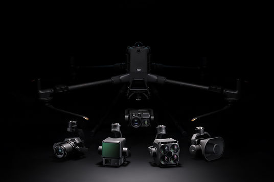
DJI M400 + Zenmuse P1
The DJI M400 is a highly versatile enterprise drone designed for large-scale agricultural mapping and data collection. With support for advanced payloads like LiDAR and high-resolution cameras, it delivers precise results across broadacre and mixed farming systems. Its robust design, long flight time, and RTK positioning make it ideal for demanding field conditions. Whether you're mapping paddocks, monitoring crop health, or conducting research trials, the M400 is built to perform.